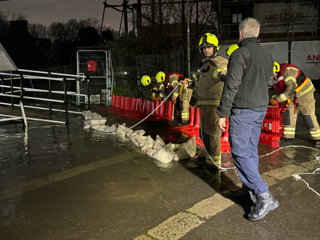
Heavy rainfall has triggered extensive flooding across the Midlands and the South of England, prompting a major incident declaration in Nottinghamshire. Saturated ground and swollen rivers, particularly along the River Trent, have led officials to advise residents in flood-risk areas to be prepared for potential evacuations.
Nottinghamshire County Council warned that river levels along the River Trent could approach record highs from the year 2000. Forecast peaks and rising water levels have heightened concerns, urging residents to take necessary precautions.
In London, a party boat sank in the Thames due to weather conditions, with all individuals on board accounted for, according to the coastguard. Meanwhile, the aftermath of the rain, compounded by Storm Henk’s recent impact, continues to disrupt travel. Great Western Railway and South Western Railway have notified passengers of likely disruptions during the morning rush hour.
The Met Office’s yellow weather warning for rain in the South of England has expired, but the Environment Agency anticipates lingering effects of surface water and river flooding for several days.
Joanna Robinson, a weather producer at Sky News, predicts a more settled weekend but with colder temperatures. Friday morning is expected to be grey and blustery in eastern Britain, with rain persisting in eastern Scotland. The weekend outlook suggests mainly dry conditions with isolated showers.
Notable rainfall totals on Thursday reached 35.2mm in Otterbourne, Hampshire, with 20mm to 30mm across many southern counties. Recent storms have left the ground saturated, exacerbating flood risks. In east London, a canal burst its banks, leading to evacuations and a significant response from emergency services.
Nottinghamshire County Council emphasises the importance of preparedness, urging residents in flood-prone areas to have evacuation plans in place. Emergency support from councils, services, and the Environment Agency continues, addressing the impact on communities