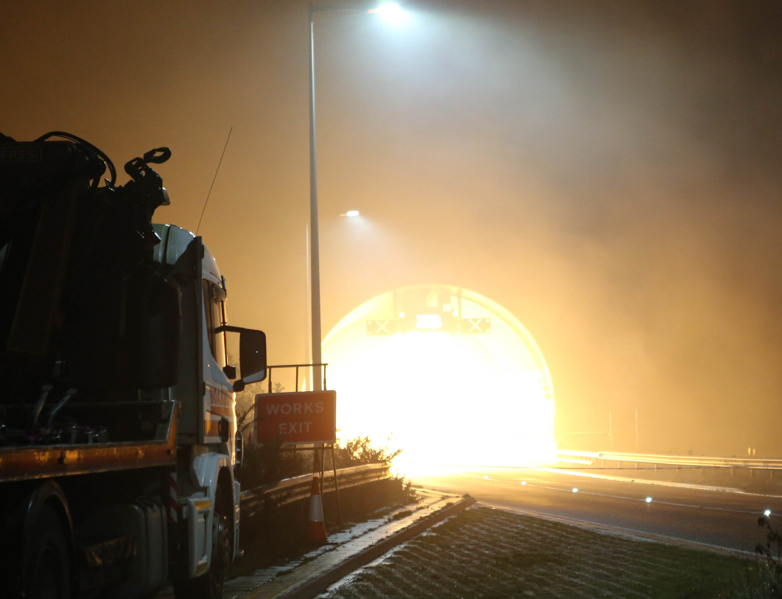
London is under a yellow weather warning for snow and ice today (January 5) as freezing conditions continue to affect travel and daily routines across the capital. The warning remains in place until 11:59 p.m., following similar alerts issued yesterday.
The Met Office has warned that some areas may experience snow and freezing rain, particularly in Northern England and Wales, where amber warnings have also been issued. In London, early morning snowfall may turn into rain as the day progresses, leading to potentially hazardous road and travel conditions.
Weather Forecast & Expected Conditions
While some snowfall is possible in East and Southern England, it is expected to transition into rain throughout the morning. Temperatures in London could drop to a chilly 2°C in the early hours, before gradually rising as the day continues.
Rain is forecast to persist throughout much of the morning, with heavier showers expected later tonight.
Hour-by-Hour Weather Breakdown for London
- 6 AM – 11 AM: Light rain
- 12 PM – 3 PM: Overcast with occasional light rain
- 4 PM – 9 PM: Periods of light rain and overcast skies
- 10 PM – 11 PM: Heavy rain
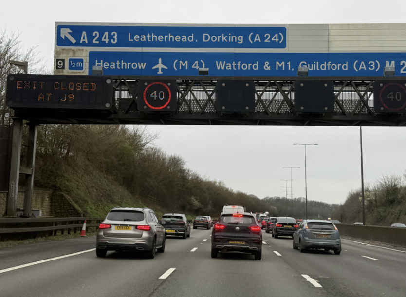
Impact on Travel & Safety Advice
With freezing conditions overnight and persistent rain expected, roads and rail services may experience disruption. The Met Office has advised commuters to check their journeys before traveling, as delays and cancellations to rail and air travel are possible.
A Met Office spokesperson added:
“Road conditions may be slippery due to ice, and snowfall in some areas could impact visibility. We urge commuters and motorists to plan ahead and take extra precautions.”
Full Forecast Summary
Overnight snow transitioning to rain early Sunday, occasionally heavy, becoming lighter and patchy in the afternoon. Much milder temperatures than in recent days, with highs reaching 12°C. Coastal areas may experience strong winds and gales.
Londoners are advised to stay updated with official weather reports and allow extra travel time where necessary.