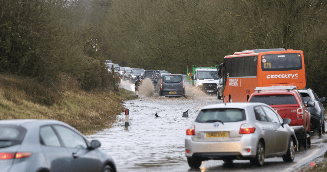
Gales and heavy rain are set to hit the UK as the remnants of former Hurricane Kirk cross the Atlantic and reach British shores in the coming days. The storm, which reached peak wind speeds of 145mph in the Atlantic, will lose its hurricane status early next week but is still expected to cause significant weather disruptions, particularly in central and southern England, as well as Wales.
The adverse weather is predicted to arrive by midweek, with the potential for heavy rain and strong winds on Wednesday and Thursday. The areas most at risk are central and southern England and Wales, with forecasters warning of possible travel disruption and flooding.

This comes after ten English counties experienced the wettest September on record, seeing up to three times the average rainfall. Despite the forecast, the Met Office says it is still too early to issue specific weather warnings, but it has advised the public to stay updated on forecasts.
Chris Bulmer, Deputy Chief Meteorologist at the Met Office, stated: “Kirk over the North Atlantic will lose its status as a hurricane early next week before being swept towards northwest Europe. The resulting low-pressure system will still have the potential to bring disruptive rain and winds to some areas, including parts of the UK, from the middle of the week. There remains much detail to work out on the exact track and timing of the system.
Bulmer noted that while parts of England and Wales are at the highest risk of heavy rain and strong winds, a more southerly track of the storm could see the worst of the conditions hit France instead. The Met Office will keep the need for weather warnings under review as the storm moves closer.
The week ahead is forecast to bring cloudy skies with showers, with periods of rain possible today, followed by sunshine and showers tomorrow and Tuesday. Following the remains of Hurricane Kirk, forecasters expect a more settled interlude, but additional spells of wind and rain are likely to return the following week.
The Met Office has also hinted that the upcoming week could bring the season’s first snowfall, with parts of the Scottish mountains potentially seeing snow late next week. However, the amount is expected to be minimal, and further spells of wind and rain are more likely across the country.
Weather conditions are likely to remain unsettled as Kirk approaches, and the Met Office has advised that temperatures could drop, with a chance of wintry showers in Scotland and Northern Ireland moving southward.


