Kent Braces for Non-Stop Downpour and Gale-Force Winds
The Met Office has slapped Kent with a 22-hour yellow weather warning as relentless heavy rain and fierce winds slam the county from 8am Monday, December 1, through to 6am Tuesday, December 2. Flood alerts are sounding loud and clear.
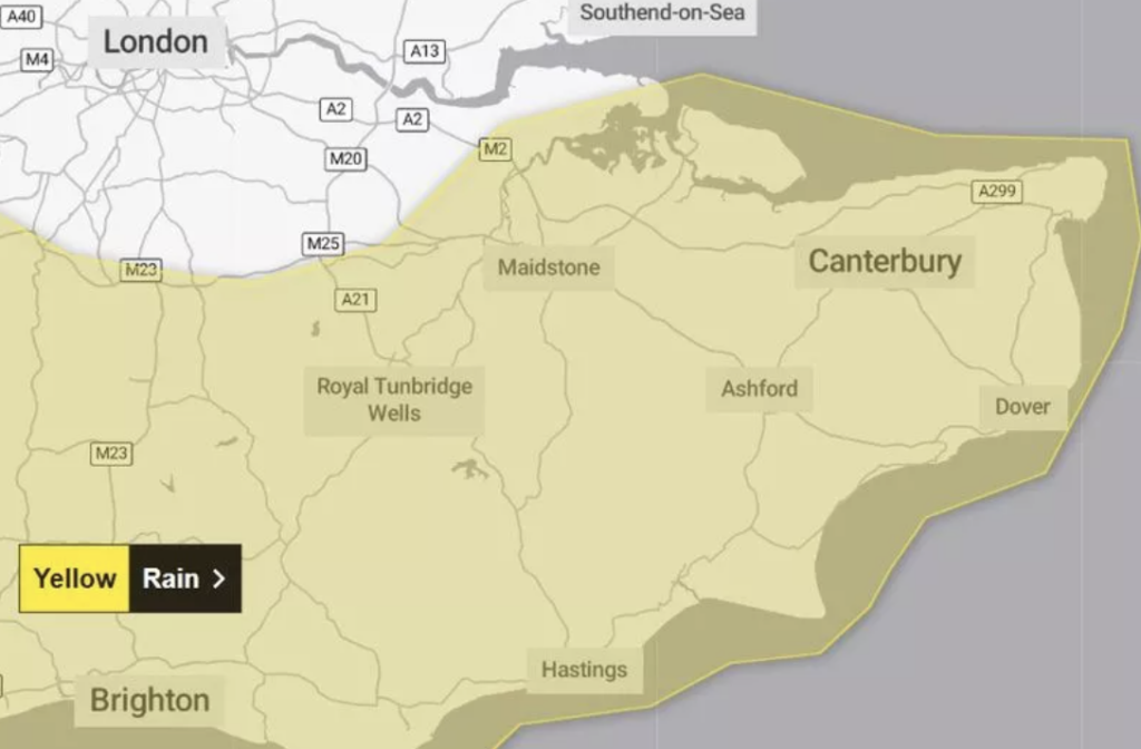
Almost All of Kent Under Flood Threat
From Maidstone to Ashford, Canterbury to Dover, and Tunbridge Wells to Swale, nearly every corner of Kent faces serious flooding risk. Forecasters warn of 20 to 30mm of rain across the region, with some spots on the North and South Downs set to soak up a staggering 50-60mm.
To make matters worse, gale-force gusts will batter the coastline, raising the odds of damage and chaos.
Warning: Floods, Travel Chaos & Power Cuts Ahead
- Homes and businesses could be swamped, with roads underwater cutting off communities.
- Driving will turn treacherous; expect road closures plus bus and train delays or cancellations.
- Storms could knock out power, leaving some in the dark.
Residents must act fast. Check if you live in a flood-prone zone and get your flood plan ready:
- Park vehicles away from flood risk areas.
- Move valuables, important docs, and gadgets to dry, high spots.
- Shut off gas, water, and electricity if flooding looks likely.
- Prepare an emergency kit with torches, spare batteries, and a phone power bank.
Weekend Showers Set the Scene Before the Storm Hits
Light showers will kick off the soggy spell this weekend, turning heavy and persistent at times. Sunday offers a break with drier but colder weather before the full-brunt storms batters Medway, Tunbridge Wells, Ashford, and beyond overnight Sunday into Monday.
Heavy Rainfall to Dunk Kent Into Mid-December
Looking ahead, expect wet and wild weather to hang around well into mid-December. Low-pressure systems promise more showers and heavy downpours across the UK. Western areas will cop the worst, but no part of Kent will dodge the drenching.
Stay alert. Prepare now. This storm means business.