The weather alert for snow affecting the South East and South West of England between 12:00am 08/03/2023 and 03:00am 09/03/2023. Road users are advised to check ahead and plan for disruption to their journeys.
An organised band of snow is going push north into the Southwest and the Southeast tonight. Snow amounts are expected to be small but could be widespread away from immediate coastal areas, with 1-2 cm for many and up to 2-5 cm on any modest hills (Haldon hill in particular). The snow is expected to ease during the morning but will be followed by a more significant second wave in the afternoon and through the evening.
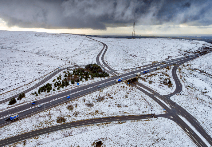
The snow will most likely lose ground in Devon but elsewhere it will be prolonged and occasionally heavy, particularly during the evening rush and to the east of the M5, leading to potential slow traffic and loss of traction on steep inclines (including the A417). Current estimations are for accumulations of 2-5cm widely with a chance of 8-10cm on any modest hills (North Wessex Downs, Surrey hills, North Downs). Any snow will gradually ease after midnight, followed by a cold night with lying snow and icy stretches leading to residual impacts during the morning travel period.
What to expect:
- Possible travel delays on roads with some stranded vehicles and passengers, along with delayed or cancelled rail and air travel
- Some rural communities could become temporarily cut off
- There is a small chance that power cuts will occur and other services, such as mobile phone coverage, may be affected
- A chance of injuries from slips and falls on icy surfaces
- A chance that untreated pavements and cycle paths become impassable
The public is advised to take extra care, further information and advice can be found here: http:///www.metoffice.gov.uk/public/weather/warnings/
Further information about how to prepare for journeys in severe weather in Winter can also be found here: https://nationalhighways.co.uk/road-safety/travelling-in-severe-weather/travelling-in-winter/