
Chilly Snap Hits UK as High Pressure Looms
The Met Office warns of colder weather sweeping the UK this week. A blocking high pressure system is settling in from the north west, bringing mostly dry and cloudy skies.
Rain Showers and Possible Snow Flurries on the Cards
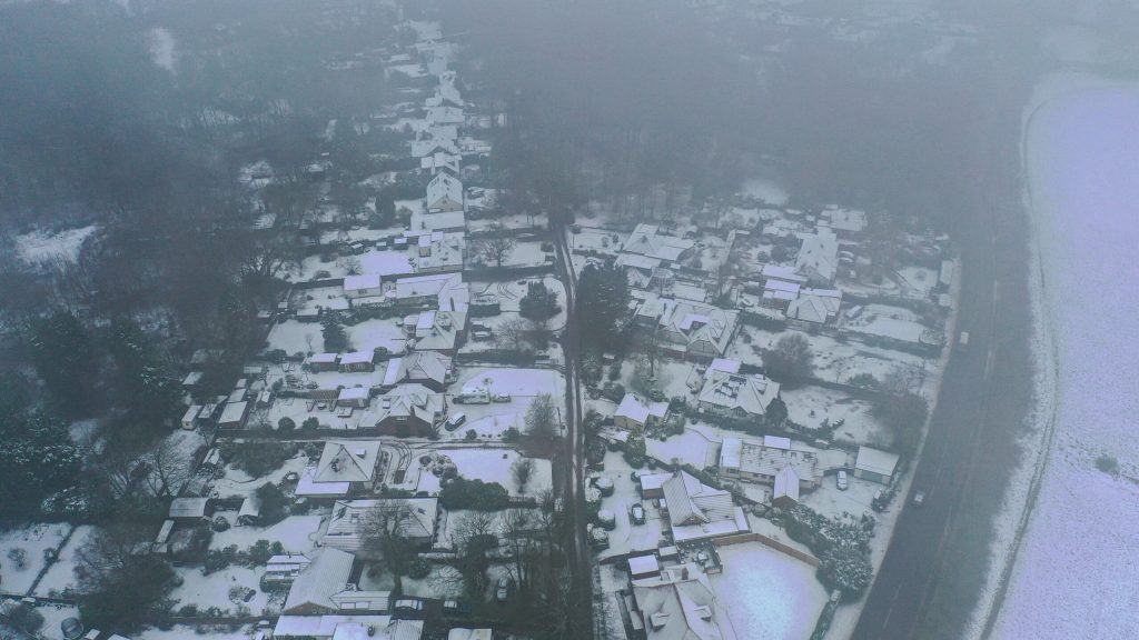
Although the week will be largely dry, expect some scattered rain showers around London, particularly from Saturday onwards. The Met Office says these could even turn into light sleet on Sunday morning due to biting cold air—but don’t expect any heavy snow or accumulation.
“The set up is something called a blocking high where high pressure stays fairly consistent to the north west of the UK from Saturday onwards into early next week. This reduces the chances of significant rainfall and keeps the country mostly dry and cloudy,” a Met Office spokesperson explained.
“For London, showers may creep in off the east coast, bringing sporadic light rain on Saturday and Sunday. There’s even a slight chance of sleet on Sunday morning, but it won’t settle or cause disruption.”
“Londoners should brace for mid to high single-figure temperatures with a chilly east wind making it feel colder this weekend and into early next week.”
London Weather: Cold and Damp But No Snowpocalypse
Temperatures in London will hover in the mid to high single digits Celsius. A cool breeze off the east will make it feel nippier, so wrap up warm if you’re out and about.
Overall, the UK faces a grey and chilly spell but no major storms or widespread snow as the blocking high keeps things fairly stable.