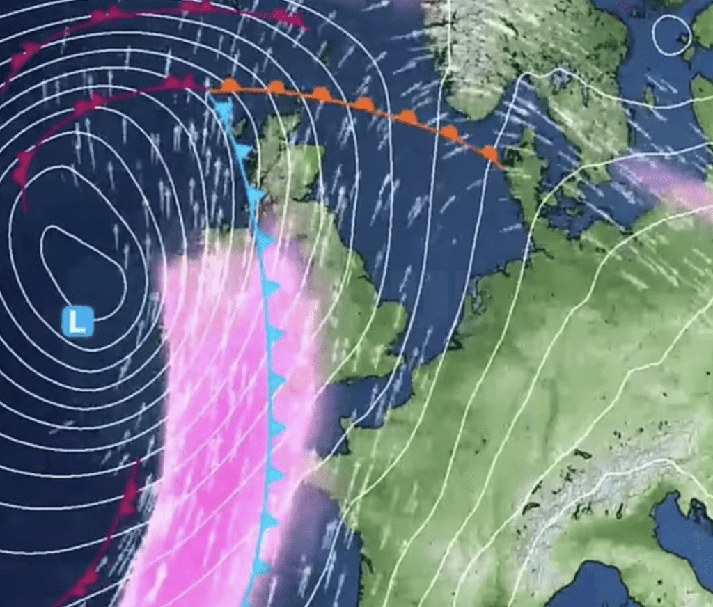
Britain braces for a turbulent weekend as two consecutive storms barrel towards the country. The first, Storm Olivia, made its presence felt today, while Storm Kathleen is forecast to arrive tomorrow, bringing with it powerful winds and heavy rain.
Storm Olivia, named by the Portuguese meteorological service IPMA, swept across the UK today, bringing blustery and showery conditions. Meanwhile, Storm Kathleen, named by Met Éireann of Ireland, is expected to make landfall tomorrow, originating from the South West.
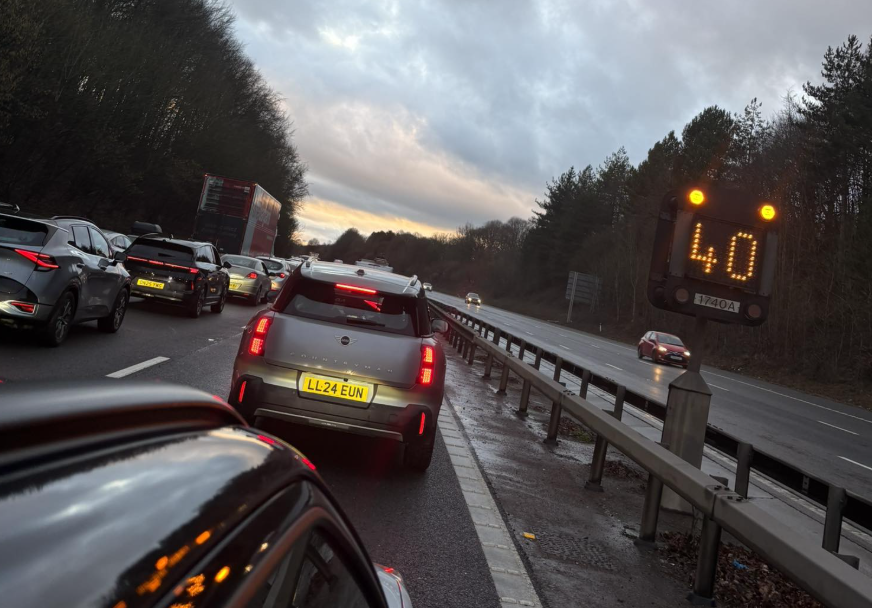
The Met Office has issued warnings for both storms, cautioning the public about potential travel disruption and the risk of injuries and danger to life. ScotRail has already cancelled some services due to flooding, while HM Coastguard has advised people to avoid coastal areas.
Today, England faces flooding issues, with 156 flood alerts and 15 warnings issued by the Environment Agency, primarily affecting the South and Midlands. Tomorrow, Storm Kathleen is expected to hit western regions of England, Wales, Scotland, and Northern Ireland with wind gusts of up to 70mph.
Despite the stormy weather, eastern areas may experience warmer temperatures, with highs of up to 22°C (72°F) forecasted, marking the highest temperatures of the year so far. However, residents are urged to remain vigilant as the storms pass through.
This weekend’s double-storm occurrence is unusual, with Storm Kathleen being only the second named storm to reach the letter ‘K’ in the Met Office’s storm alphabet. The last storm to reach ‘K’ was Storm Katie in March 2016.
As the nation faces this onslaught of extreme weather, authorities advise the public to stay updated on weather warnings and take necessary precautions to ensure safety.