Storm Ciarán Set to Bring Inland Flooding and Coastal Mayhem
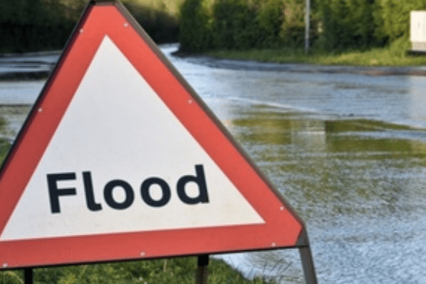
Parts of England face significant inland flooding from Wednesday to Friday, with the south coast and the northeast’s shoreline seeing risky, wind-driven waves at high tide on Thursday. Coastal flooding is possible but expected to be less severe than during Storm Babet.
Warning from the Environment Agency
Ben Lukey, Flood Duty Manager at the Environment Agency, warned: “Strong onshore gales and large waves from Storm Ciarán could cause significant flooding along the south coast on Thursday, with minor impacts elsewhere. Coastal flooding is also possible in Yorkshire and the northeast.
“Heavy rain from Wednesday evening through Friday may trigger surface water flooding and river flooding on Thursday and Friday in parts of the south and northeast.
“Our teams are out in force, operating flood defences and working with local partners to protect communities already hit by flooding.”
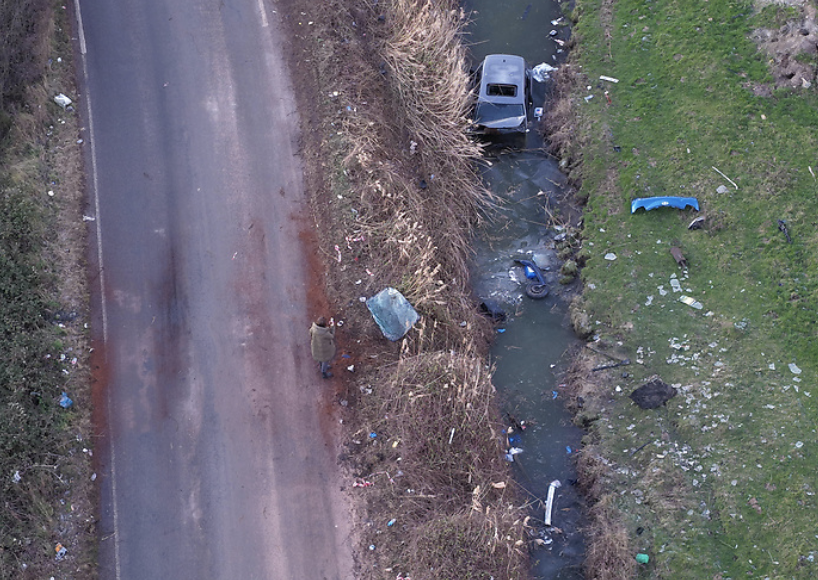
He urged coastal visitors to stay safe, avoid driving through flood water, and be cautious on coastal paths and promenades. “Just 30cm of flowing water can move a car,” he added.
Residents should check flood risk and sign up for free flood warnings and follow the Environment Agency’s latest updates on X.
Met Office Predicted Gale-Force Gusts and Torrential Rain
Met Office Chief Meteorologist Dan Suri said: “Ahead of Storm Ciarán, southern and southeast England will face bursts of heavy rain and coastal gusts of 60-70mph from Tuesday into Wednesday.”
“Wind and rain warnings run from Wednesday night through Friday, with amber wind warnings for southwestern England and Wales early Thursday, and for the south and southeast during the day. Gusts of 70-80mph are likely along southern coasts, with exposed areas possibly hitting 85mph. Inland winds could reach 50-60mph.”
“Heavy rain will impact much of southern England, south and north Wales, northeast England, southeast Scotland, and eastern Northern Ireland from Wednesday evening to Friday morning. Expect 20-25mm rain widely, 40-60mm on higher ground, and up to 80mm in some southern areas—on already saturated soil, causing flood risks.”
Ongoing Flood Risks and Storm Aftermath
Environment Agency staff face planned industrial action starting 7am Friday, November 3, lasting four days. The agency promises to mitigate risks amid ongoing flooding concerns as water levels remain high even after the storm passes.
Automated flood warning systems will stay active. The public is urged to heed all flood alerts and call Floodline on 0345 988 1188 with any worries. Current flood alerts, river, sea, groundwater and rainfall levels can be checked at Check for Flooding – GOV.UK.
Environment Agency Reflects on Storm Babet Response
Last month’s Storm Babet flooded 2,197 properties and caused tragic deaths across England. The Environment Agency mobilised 20 high volume pumps and five smaller pumps to protect an estimated 97,000 properties, sending out over 300,000 flood warnings by phone, email, and text.
Teams worked tirelessly to operate flood defences, reservoirs, and temporary barriers. The Government has also activated the Flood Recovery Framework to support hard-hit communities.
Residents should sign up for flood warnings and stay updated with the latest safety advice amid heavy downpours and the risk of tidal flooding on saturated ground.