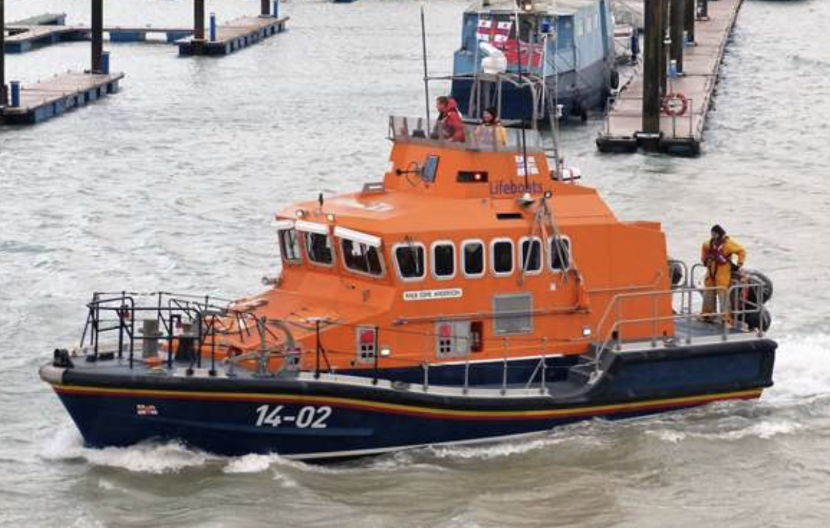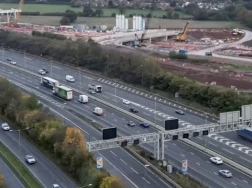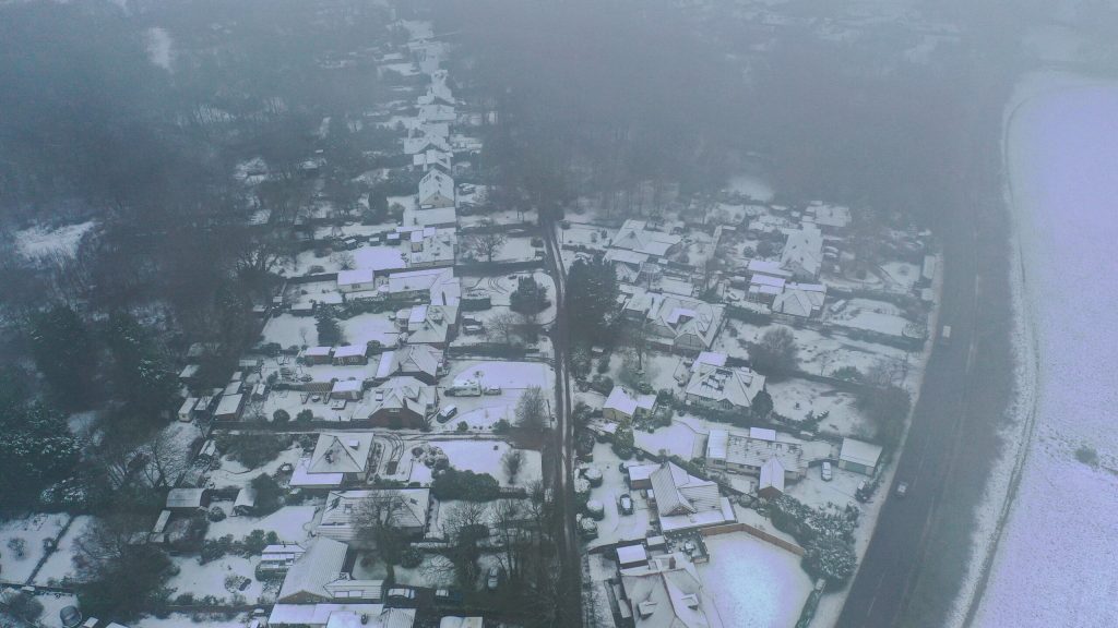
Snow and ice warnings are in effect for Northern Ireland, northwest England, and north Wales from midday until 12:00am on Tuesday. Due to icy roads, drivers were advised to allow extra time for morning commutes, with more travel disruption expected. A sharp widespread frost is expected overnight into Tuesday, with lows ranging from -4 to -8 degrees Celsius. Snow has fallen in south-east England, and Scotland is under a yellow weather warning for snow and ice until Wednesday. Snow showers and icy conditions, according to the Met Office, could “cause some disruption” and result in longer journeys for train passengers and drivers. According to BBC forecaster Billy Payne, a few centimetres of snow fell overnight in parts of Scotland and northern England, even on low ground, with 18cm (7in) recorded at Loch Glascarnoch in Scotland. Further frost and ice risks are expected over the next few nights, with daytime temperatures remaining low. However, unlike in December, major weather disruption is not expected, according to BBC forecasters. Due to “a risk of snow on high ground and slippery surfaces on lower areas,” Met Office meteorologist Craig Snell advised Monday morning commuters to leave plenty of time for their journeys. He went on to say: “This could be a problem during rush hour, causing a few issues on the roads. Flooding is still a possibility.” A Met Office yellow ice warning was in effect until 10 a.m., covering Northern Ireland, Northern Wales, Northern England, the Northern Midlands, and southern Scotland. After a yellow warning was issued for Kent and Canterbury until 8 a.m., snow fell across the south east of England. The snow in the south east and northern England would be melting throughout the morning, according to BBC forecasters. Mr Snell predicted that most of the country would be dry with sunny spells for the rest of Monday. The rest of the week is expected to be cold with scattered showers, especially in the north, until temperatures rise at the weekend. A yellow ice warning has also been issued for the south west of England from midnight until 9:00 a.m. on Tuesday. The cold snap follows widespread flooding that submerged parts of the UK over the weekend, with more than 106 flood warnings and 172 flood alerts still in effect across England. According to Sarah Cook of the Environment Agency, workers will continue to deal with flooding in the areas hardest hit by the weekend deluge on Monday. She added that the rain on Sunday night in the south of England could cause minor flooding to isolated properties, and she advised people to stay away from swollen rivers and avoid driving through flood water. According to Rod Dennis of the RAC, “it’s now ice that poses the greatest danger to drivers” following the floods last week. He warned motorists to be cautious and slow down on rural roads that had not been gritted. “Although this week’s cold snap will be much shorter than the freezing conditions we saw in December, which led to the RAC’s busiest week ever,” he added. The weekend scene in York, where rescue workers required a boat to navigate floodwaters line