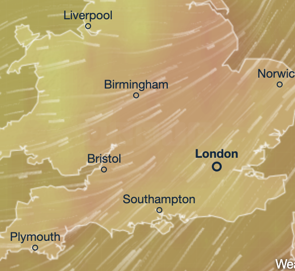
Storm Lilian Set to Batter Northern Britain With 80mph Winds
Britain is gearing up for Storm Lilian, the 12th named storm this season. The fierce tempest will lash northern England, north Wales, and southern Scotland overnight with brutal winds and heavy rain. The Met Office warns gusts could hit a whopping 80mph, stirring up flooding and chaos just as millions head off for the August Bank Holiday weekend.
Severe Weather Warnings Issued
Storm Lilian is expected to sweep in early Friday morning, bringing the worst of the weather until mid-morning. Multiple yellow warnings are in effect: rain alerts cover south-west Scotland and the Aberdeenshire coast from Thursday 9pm to Friday 9am, while wind warnings target northern England and north Wales.
Met Office meteorologist Jason Kelly warned:
“Storm Lilian will bring some potentially damaging gusts during Friday morning, with winds widely in the 50-60mph range, and some blasts possibly exceeding 75mph.”
The downpour could trigger surface water flooding, especially in already soaked parts of Scotland. The Scottish Environment Protection Agency has issued 21 flood alerts covering Orkney, the Western Isles, and Dumfries and Galloway.
Bank Holiday Travel Could Be a Nightmare
The storm hits as around 19.2 million Brits plan to hit the road for the Bank Holiday, with Friday alone expected to see 3.2 million car journeys—the highest since 2015, according to the RAC.
Storm Lilian will push into the North Sea by late Friday morning but will leave behind unsettled skies and tricky travel conditions. The Met Office warns of potential coastal dangers, power cuts, and widespread flooding that could disrupt holiday plans.
Mini-Heatwave to Follow Storm Chaos
Despite the soggy weekend, sunnier days lie ahead in the south and southeast. A mini-heatwave could blast parts of the UK next week, with London basking in highs of 26°C from Wednesday to Friday, says BBC Weather.
But before the warmth returns, campers, festival fans, and holidaymakers must brace for a typically soggy, unsettled Bank Holiday, with rain and cooler temps expected to clear only by Sunday.
August’s Stormy Spell Rolls On
This August has already been drenched by wild weather, thanks partly to remnants of Hurricane Ernesto. The northwest, in particular, has seen relentless showers and wind, a pattern set to continue through the weekend.
Deputy Met Office Chief Nick Silkstone said:
“Early Saturday will likely bring heavy rain across southern and southeastern England, but it should clear by mid-afternoon with only scattered showers after. Many southern and eastern areas will stay dry through Monday, though temps may remain below average.”
Meanwhile, the northwest must prepare for more unsettled conditions with frequent rain and gusts adding to the soggy misery.
The Met Office remains on high alert as the Bank Holiday weekend nears, promising updates and warnings to keep the nation safe through Storm Lilian and beyond.