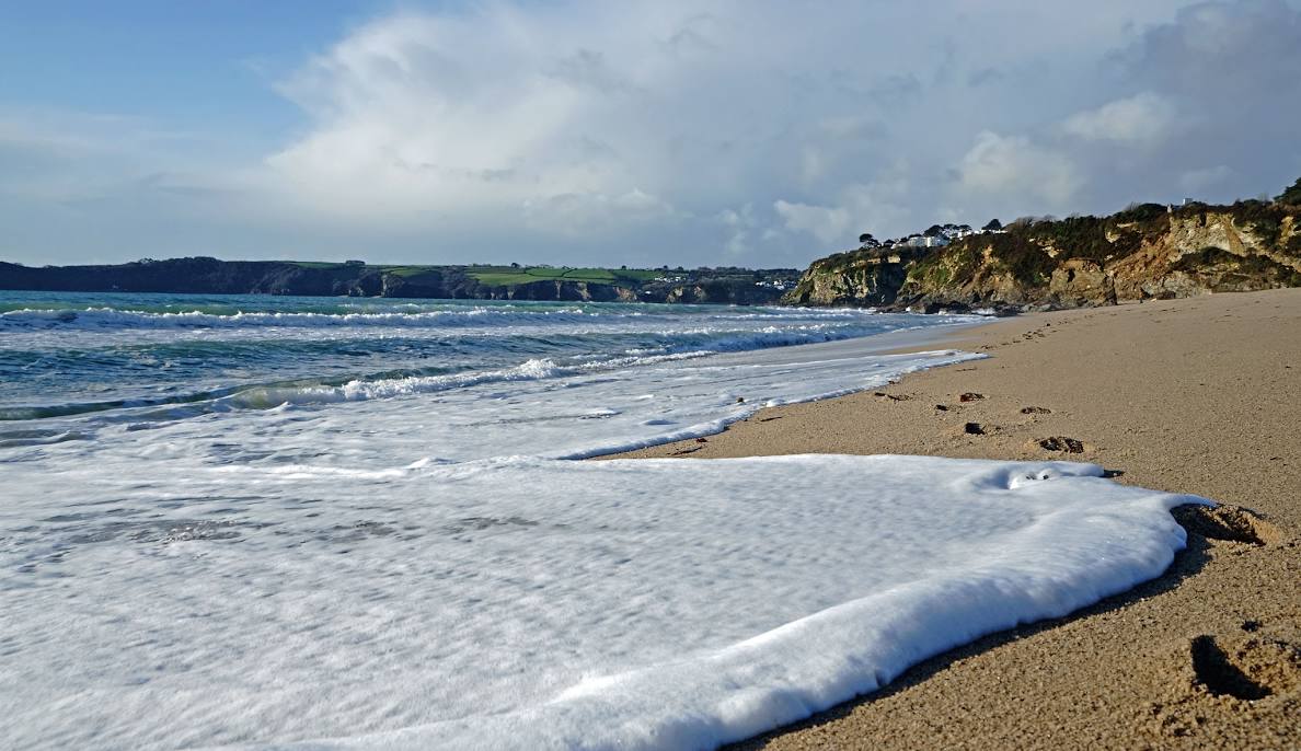
Storm Éowyn Set to Slam UK with 80mph Winds and Torrential Rain
The Met Office has named the first big storm of the year: Storm Éowyn. It’s a fierce “weather bomb” ready to batter the UK from Thursday night, peaking on Friday and Saturday. Brace for howling 80mph winds, heavy rain, and major travel chaos.
Jet Stream Fuels Explosive Weather Bomb
A powerful jet stream from North America is driving Storm Éowyn, triggering explosive cyclogenesis—where the storm’s pressure crashes by 24 millibars in just 24 hours. This supercharges the low-pressure system, whipping up savage winds and relentless rain.
The Met Office has issued a yellow wind warning from midnight Thursday until midday Saturday for northern Ireland, the Scottish Highlands, and western Scotland. Expect gusts of 50-60mph inland, and a brutal 70-80mph along coasts. Localised flooding is also a threat as heavy rain lashes the region.
“A very deep area of low pressure will bring a very unsettled, potentially disruptive spell of weather to the UK through Friday and into Saturday,” warns Deputy Chief Meteorologist Chris Almond.
Risks on All Fronts: Power Cuts, Travel Chaos, and Flying Debris
- Power outages and damage to buildings from fierce winds
- Life-threatening flying debris
- Severe travel disruption for roads, rail, air, and ferry services
- Flooding in vulnerable areas
Snowfall could hit northern areas, adding to the chaos.
Expert Warns: Strongest Winds of the Season Incoming
Chris Almond explains the storm’s punch: cold North American air meets warm Atlantic temps, igniting this weather bomb.
“This low-pressure system will rapidly strengthen as it interacts with the jet stream, bringing some of the strongest winds of the season yet.”
How to Stay Safe During Storm Éowyn
- Secure all loose items around your home
- Avoid unnecessary travel in affected zones
- Keep up to date with warnings via the Met Office app and website
Stormy Weeks Ahead: Wet and Windy Weather to Continue
Storm Éowyn isn’t a one-off. It kicks off a stretch of unsettled weather expected to linger into February.
“Storm Éowyn will bring a period of very unsettled, potentially disruptive, weather. Stay tuned to updates as the forecast details are fine-tuned during the week,” advises Met Office spokeswoman Andrea Bishop.
What Is a Weather Bomb?
A “weather bomb” means a low-pressure system deepening rapidly, unleashing violent winds that can uproot trees and wreck structures. Storm Éowyn fits the bill perfectly, so Brits must prepare now.
Keep alert, stay indoors where possible, and follow official updates to ride out Storm Éowyn safely.