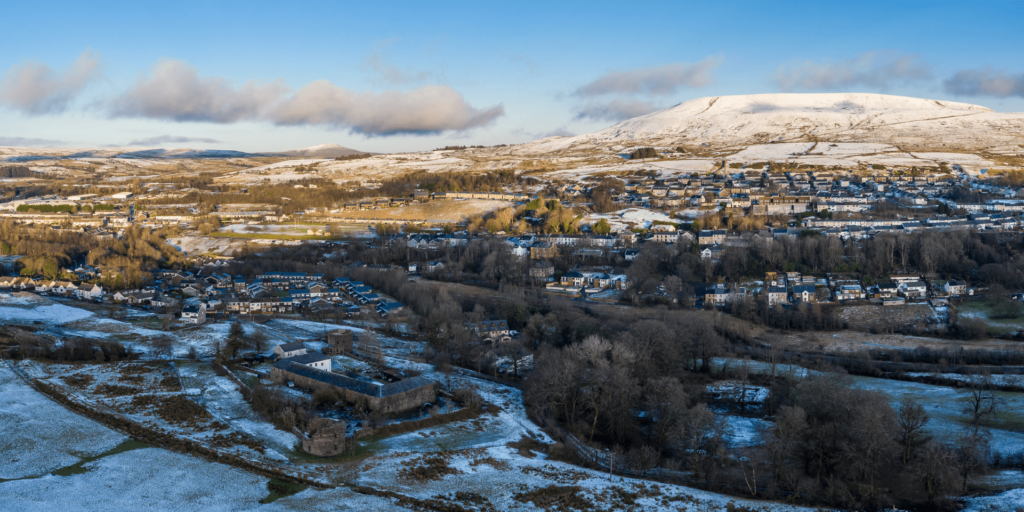
Yellow warning for ice and snow hit the UK from Monday afternoon through early Tuesday morning.
Freezing temperatures bite hard
Temperatures will plunge to as low as -9°C in rural Scotland and -6°C in rural Wales overnight tonight. This sudden cold snap is much chillier than recent weeks.
Snow to hit southern England and Wales
Snow showers are expected on Monday afternoon and evening, mostly settling on higher ground in southern England and south Wales. Met Office Chief Forecaster Paul Gundersen warns:
“High pressure sitting to the northeast will bring a real chill across the south and some snow showers across southern England and south Wales. Most places will see little snow, but small amounts could settle from late afternoon into the night, mainly on high ground.”
Ice warning sparks travel chaos fears
The snow could soon turn to ice, making roads treacherous. A yellow ice warning covers much of southern England and south Wales from 3pm Monday until 3am Tuesday. Drivers are urged to take care.
Health and home risks rise
The UK Health Security Agency has issued a Cold Health Alert, warning of serious impacts on health and social care services.
Freezing nights also threaten household pipes, which can burst when thawing. Protect your home by following simple pipe safety tips.
Cold but mainly dry Tuesday
Tuesday will be mostly dry with some sunshine, but temperatures will remain low, hitting just 1°C to 3°C in the south. Brisk winds will make it feel even colder.
Looking ahead: Cold snap to continue
High pressure will keep the UK dry and cold for most of the week. By the weekend, a cold northern front could bring showers and a chance of more unsettled weather.