Storm Franklin Blows Through, But More Wind and Rain Are on the Way
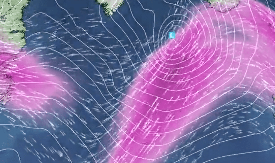
Brace yourselves, UK! The Met Office has warned that Storm Franklin is clearing out this afternoon, but don’t pack away your brollies just yet. Andy Page, Chief Meteorologist, reveals a powerful jet stream is pushing a series of wild weather fronts across the North Atlantic right into the UK. Expect plenty more wet and windy days ahead.
Wet and Windy Weather Rolls On
“As Storm Franklin clears the UK and heads into mainland Europe, the gale force winds will ease and showers will thin out, giving many areas a break with some dry, sunny spells,” said Andy Page.
But don’t get too comfortable. Overnight, a fresh band of rain and strong winds will hit the northwest, creeping south and east through Tuesday before fading away.
Chilly Showers and Wintry Mix on the Horizon
Following this, showers will return to the north and west on Wednesday, dragging more gusty winds and heavy rain. Some of this could turn to snow or sleet over the hills — and occasionally at lower levels.
Thursday looks to be the coldest day of the week. A frosty start for some, along with gusty winds and heavy rain sweeping south and east. Wintry showers will mainly hit northern hills, with snow possible down to low levels.
More Windy Spells and Severe Weather Warnings Loom
Friday may bring some respite with quieter weather, but don’t relax too long. Another bout of wind, especially in the north, is on the way to kick off the next storm system.
The Met Office could issue more National Severe Weather Warnings this week, though the threat is lower than recent days. Stay updated with the latest forecast via the Met Office website, Twitter, Facebook, or their mobile app available on the 123 — you won’t want to be caught off guard.