UK Takes the Helm in Global Space Disaster Response
UK Space Agency Leads International Satellite Effort
The UK Space Agency is now in charge of the International Charter Space and Major Disasters, a global satellite data network that helps tackle natural and man-made disasters worldwide.
Starting this April, the UK will lead the Charter for six months, kicking off at the 49th Board Meeting in Edinburgh. This event gathers space agencies and disaster experts from across the globe.
Satellite Data Saving Lives Across 131 Countries
The Charter has 17 member agencies and access to 270 satellites. It provides satellite imagery and data to aid disaster response in 131 countries — free of charge and operating 24/7.
Dr Paul Bate, UK Space Agency Chief Exec, said: “Natural disasters devastate communities worldwide. Satellites play a crucial role in monitoring and mitigating these impacts, helping save lives. The UK is proud to lead the Charter, which has been activated over 800 times since 2000. We’re ready to push this vital humanitarian work forward.”
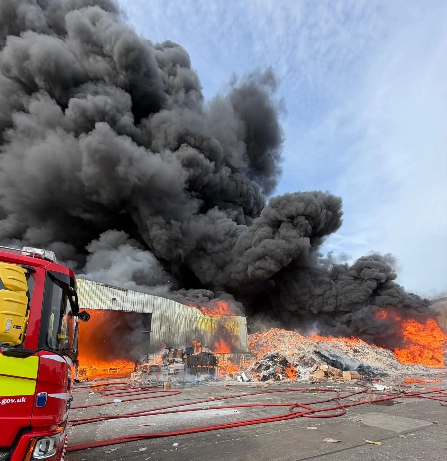
Since its launch, the Charter has deployed for over 815 disasters including cyclones, floods, earthquakes, landslides, and oil spills. Weather-related crises are the most frequent triggers, rising from 42 activations annually to 50 since 2020. Notably, the Charter was activated for Scotland’s floods in November 2022.
Scotland Welcomes the World’s Disaster Satellite Chiefs
John Lamont, UK Government Minister for Scotland, said: “It’s great to host the Charter members here in Edinburgh as the UK takes lead. This organisation shows how countries unite to tackle natural disasters. Scotland saw its value last year during flooding in Aberdeenshire, where satellite images helped agencies respond swiftly.”
How the Charter Works When Disaster Strikes
- An Authorised User activates the Charter.
- An On-Duty Operator verifies and escalates the activation to an Emergency Officer.
- A plan identifies the best satellites for imaging the disaster.
- Satellite operators task their satellites accordingly.
- A Project Manager coordinates data interpretation—turning raw images into vital maps.
- These maps guide emergency responders in managing relief efforts.
UK’s Vital Role in the Global Satellite Network
Since joining in 2005, the UK contributes through high-res satellites run by Airbus Defence and Space Limited. The UK team regularly handles emergency operations and disaster activations, including November’s devastating floods in Scotland.
Satellite images from Canada’s RADARSAT helped the Scottish Environment Protection Agency assess flood extents and water levels to issue warnings and organise rescue missions.
The International Charter is a life-saving global tool, proving that when disaster strikes, satellites and international teamwork are on the frontline. Stay tuned—space is watching out for us!