
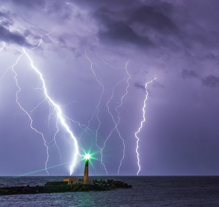
The Met Office has issued a severe weather warning for parts of the South West today (Tuesday), forecasting intense thunderstorms with heavy rain, frequent lightning, large hail, and gusty winds. While much of the county will stay warm and sunny, isolated but powerful storms could cause significant disruption into the evening.
Severe Storm Risk
The thunderstorms may dump up to 30mm of rain in under an hour, increasing the chance of flash flooding in vulnerable areas. The downpours, combined with lightning strikes and hail, could affect homes and businesses, leading to property damage and potential power outages.
Travel Disruptions Expected
Train and bus services face possible delays or cancellations due to flooding and lightning. Drivers should beware of spray and sudden flooding that could cause hazardous road conditions or temporary road closures across the region.
Safety Precautions Advised
Residents are urged to prepare flood plans and secure loose outdoor items, such as bins, garden furniture, trampolines, and sheds, ahead of gusty winds.
Anyone caught outside during thunder is advised to seek a safe enclosed shelter, avoiding trees and high ground.
Power Cut Preparations
There is a small risk of power cuts during the storms. The Met Office recommends gathering torches, batteries, a charged mobile phone power bank and essentials to cope if electricity is lost.
Stay updated on the latest local weather forecast and warnings to remain safe throughout the day, as conditions can change rapidly.