Thunderstorm Warning Hits London and South East
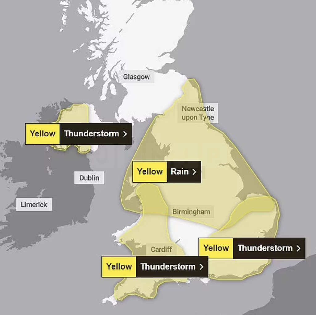
The Met Office has slapped down an urgent thunderstorm warning across London and South East England from noon today. Millions face flash floods, power cuts, and chaos on the roads and rails.
Heavy Rain and Travel Chaos Expected
The 12-hour yellow warning covers Greater London, Sussex, Kent, Hampshire, and Surrey. Forecasters warn of up to 30mm of rain within an hour, possibly spiking to 40-50mm in spots over just a few hours.
- Lightning and hailstorms threaten to slam train and bus services.
- Strong winds could fuel power outages across the region.
- Flash floods may flood streets and homes, causing havoc.
More Stormy Weather Looming Across UK
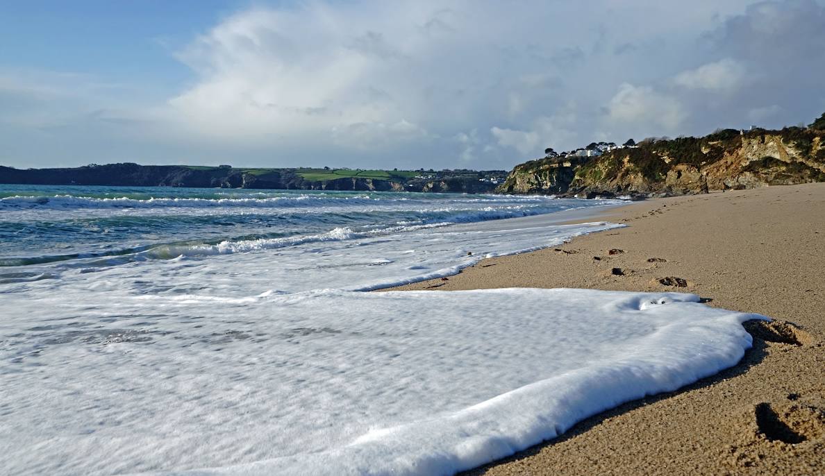
Storms are brewing elsewhere too. Northern Ireland and southern England face similar threats later today, while Cornwall, Devon, Dorset, and parts of Northern Ireland remain on high alert until late this evening. Some areas could see two inches of rainfall in just hours, peppered with frequent lightning strikes.
Official Advice: Prepare and Stay Safe
The Met Office urges the public to brace for sudden flooding, spray, and possible power cuts. Yesterday’s sunny 22°C highs will be a distant memory as heavy storms move in.
Forecaster Amy Bokota warned, “The downpours could be slow-moving, and that’s the main trouble. Where they hit, it could be intense and dramatic, but some nearby areas might escape the worst.”
Deputy Chief Meteorologist Dan Rudman added, “Low pressure arriving midweek will bring heavy rain, especially in eastern parts. Keep watching the forecast for possible severe weather warnings.”
Looking Ahead: Rain Rolls Into Bank Holiday
The soggy spell is set to continue, with more wet weather forecast through the bank holiday weekend as rain moves from the west across the UK. Drivers and travellers are urged to stay alert and check for updates.
Stay tuned and follow official advice to weather the storm safely.