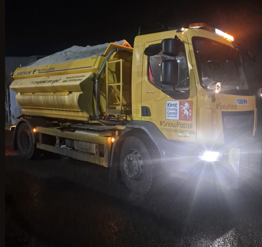
Kent County Council Highways has crews on the move at 3am, gritting all primary routes as temperatures plunge to around minus 0.4°C overnight. Road surface temps could dip below freezing, sparking slippery conditions across the region.
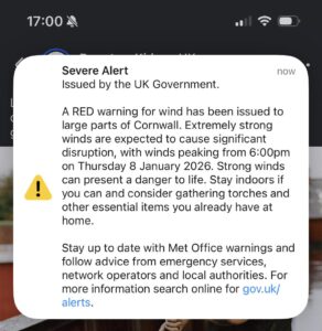
Weather Warning: Heavy Rain, Snow, and Gales on the Way
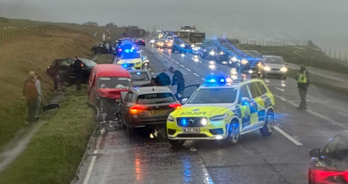
Today kicks off with a gloomy mix of mist and drizzle, and fog clinging to higher ground. From late morning, brace for heavy rain and winds strengthening from the southwest. By evening, coastal areas face severe gales with potentially damaging gusts. Temperatures will peak at a mild 8°C.
Tonight and Friday: Freezing Conditions and Snow Risk
- Tonight: Rain will ease but the risk of sleet and snow rises, especially on hills. Winds will ramp up, turning gale-force near the coast. Expect minimum temperatures right at freezing (0°C).
- Friday: Cold and cloudy with more showers of rain and snow in the morning. Strong winds will persist before conditions dry out from the west and skies brighten. Max temp will hit 5°C.