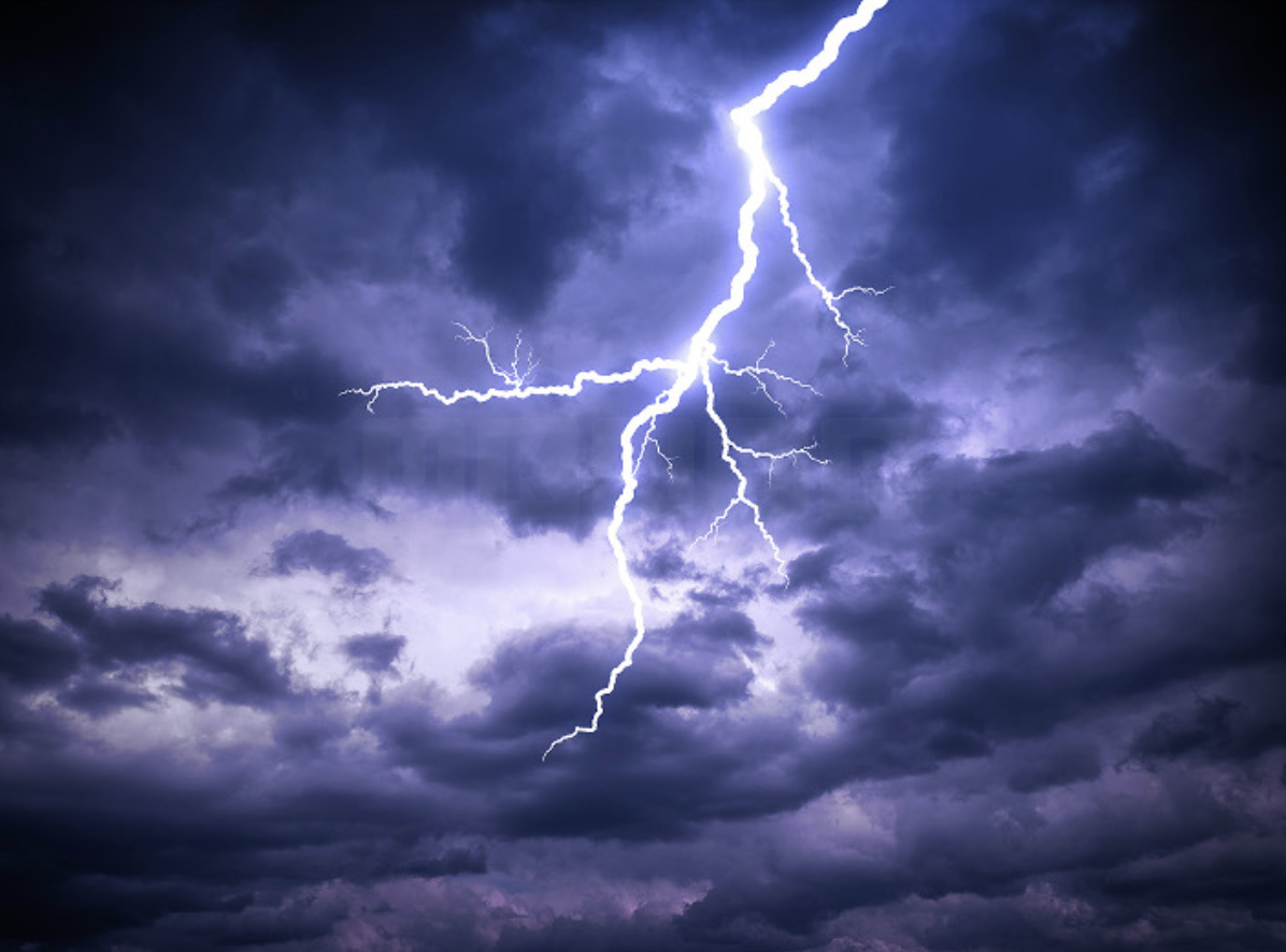
After experiencing the warmest spell of the year in parts of the UK, a period of thunderstorms is now in the forecast for some regions of England and Wales.
Thunder and lightning activity is expected to begin later today, Wednesday 31 July, and extend into Thursday.
Neil Armstrong, Chief Forecaster at the Met Office, said: “The focus for Wednesday’s thunderstorm Yellow warning extends across a swathe of southeastern England from Hampshire to Essex, including London and parts of the Home Counties. While many areas will stay dry, a few places could see thunderstorms later today with frequent lightning and heavy downpours possible.”
UK daytime temperatures are forecast to reach highs of 30-32°C in parts of central and southern England and eastern Wales. This will be accompanied by high levels of humidity. Neil added that the focus for the maximum heat has shifted further west from yesterday. Temperatures in northern England will reach the mid-20s°C, while parts of Scotland and Northern Ireland will reach the low 20s°C or high teens.
For Thursday, the Met Office’s Yellow thunderstorm warning covers most of England and Wales except the far southwest and northwest. Dan Holley, a Met Office deputy chief forecaster, said: “The Met Office has issued a thunderstorm warning over a broad geographical area, but not all locations will see impacts. The most intense impacts are likely to be focused on central, southern, and southeast areas of England. Here, some locations will witness torrential downpours, large hail, and frequent lightning. A few places could see 50-100mm of rainfall in a few hours.”
Short-Notice Warnings
It is likely that some warnings may need to be issued at short notice ahead of the development of the most intense thunderstorm activity.
Hot conditions will remain until a fresher and cooler influence begins on Friday. There is still the risk of isolated thunderstorm activity in the east or southeast of England, but the frequency and impacts will be much reduced compared with Wednesday and Thursday.


