The Met Office has issued a deadly 17-hour yellow wind warning across parts of Kent as Storm Goretti gears up to batter the South East with powerful gusts and heavy rain. The warning covers the coastal areas of Dover, Folkestone, and Romney Marsh from 3pm today (January 8) until 8am Friday morning.
Storm Brings ‘Multi-Hazard’ Threat to Southern England
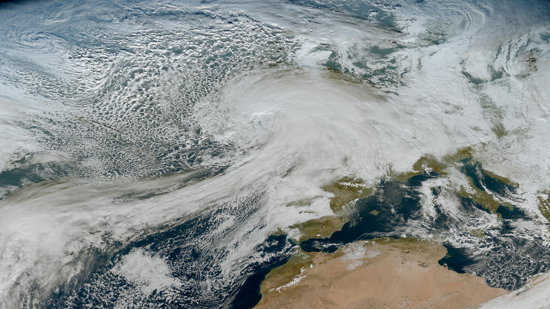
Following a spell of freezing temperatures and biting frosts, Storm Goretti is expected to unleash a cocktail of hazards across the South. While the strongest gales are targeted at the South West with an amber warning, Kent faces blustery winds that could cause significant disruption.
- Winds predicted to hit up to 70mph in exposed coastal spots
- Flying debris risks injury and danger to life
- Possible damage to buildings including roof tiles torn off
Travel Chaos and Power Cuts Loom
The Met Office warns that roads, bridges, and public transport could face closures and delays. Expect cancellations and longer journeys by road, rail, ferry, and air. Power outages and spotty mobile coverage are also possible as the heavy gusts and waves threaten coastal infrastructure.
The Met Office adds: “Injuries and danger to life could occur from large waves and beach material being thrown onto sea fronts, coastal roads and properties.”
Driving in the Storm – Expert Tips
RAC spokesperson Alice Simpson urges caution: “Drivers in the worst-hit areas need to consider if it’s safe to drive. Cold weather punishes older car batteries, leading to more breakdowns. Always give yourself more time, clear snow and ice properly, and don’t use hot water on frozen windscreens as it can cause cracks.”
She recommends carrying a good scraper and de-icer and sticking to major roads likely to be cleared. Also, use screenwash effective down to at least -10C to maintain visibility on grimy, salted roads.
Weather Outlook – What’s Next?
Tonight, expect heavy rain sweeping over Kent, turning to sleet and snow before midnight in higher areas. Tomorrow will stay cold with highs around 5C and more wintry showers. The weekend promises a mix of bright spells and frosty nights, with icy patches forming by Sunday morning.
Looking ahead to next week, the Met Office signals uncertainty but hints at a mild front pushing in by Monday, possibly bringing snow in the North and rain in southern parts, before colder conditions may return.